| Available In: App Store | Price: $5.99 |
![]() Historic Earth is a unique mapping application that allows you to overlay historic maps on modern maps. The application uses the Historic Map Works, ” the world’s largest online collection of geo-coded historic maps,” database to find historical maps for cities and States around the United States.
Historic Earth is a unique mapping application that allows you to overlay historic maps on modern maps. The application uses the Historic Map Works, ” the world’s largest online collection of geo-coded historic maps,” database to find historical maps for cities and States around the United States.
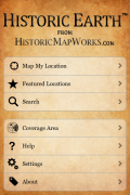
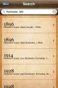
Historic Earth allows you to map your current location, view features locations or search for a specific location.
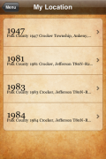
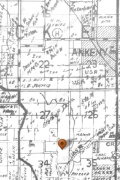
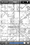
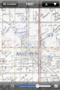
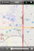
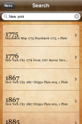
Once a location has been found, you are given a list of the historic maps available for that specific location. When you select a map it will overlay the historic map on top of the current modern map. You can fade back a forth between the historic map and the modern map using the slider bar at the bottom of the page. This allows you to compare and contrast the two maps. You can also scroll, pan and zoom any map to explore it further. Quickly switch to the next map in the list by using the arrows at the top of the page.
If you are really looking for details… the information icon will give you the the date and title of the historic map as well as the exact Longitude and Latitude of the map.
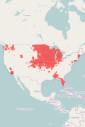
The historical maps range anywhere from the late 1700’s through the late 1900’s. Currently, the application includes maps for the majority of the Midwest as well as a few parts of Washington State, Florida, California, Alabama, New York, Maine and Washinton DC. Maps are continually being added to the database.
“Launching with 32,000 high-resolution maps covering several cities and states (including NYC, Boston, Philadelphia, Washington DC, Maine, and Illinois) the collection will be expanding to 130,000 soon after launch as more of the Historic Map Works archive is made available.”
It a very interesting application. If you love History and/or Maps… you will definitely want to check out Historic Earth.
Video Demo:
ScreenShots:
App Store Description:
Drawing on the world’s largest online collection of geo-coded historic maps, Historic Earth allows you to virtually travel back through time in many U.S. cities and states. Geo-coding allows the maps to closely overlay a modern map, so that the same locations can be compared in various time periods.
Launching with 32,000 high-resolution maps covering several cities and states (including most of the Midwest, NYC, Boston, Philadelphia, Washington DC, Maine) the collection will expand to 130,000 soon as more of our large archive is continuously made available.
Check if we have maps for your area on our coverage map:
www.historicmapworks.com/Earth/location.php
******Special Launch Pricing for a Limited Time******
Features:
-Map My Location: Searches and displays historical maps of your current location.
-Featured Locations: Explore historical maps from a variety of changing highlighted locations.
-Search: Search for a location by address, city, or ZIP code to explore maps from that area.
-Geographic Search: Pan and Zoom to any location on the map and make a new search for maps at that location.
-Compass Support: For devices with a compass, the maps can rotate with your current orientation.
Historic Earth allows you to map the history of cities, times, buildings and landmarks. View historic maps showing property owners, see buildings constructed and replaced, and watch the landscape change over time.









Grr! I use maps like these almost every day for my job, which covers Michigan, Iowa and Minnesota.
My job ends this Friday. Of *course* this would be released now.
same here, I use these maps everyday in my hometown in Corfu, Greece and its not the best thing to me
I wonder when we will use 3dMaps?