Nearest Tube – Real-Time Map and Directions

Available In: App Store       Price: Coming Soon  

nearesttubelogo Now, this is a sweet application. Nearest Tube, from acrossair, uses the iPhone 3GS video camera, GPS and Compass to give Lodoners a real-time map and directions on where the nearest metro stations are. Very cool. The app is still in the approval stage and is currently only available for the London underground. Check out the description below and a few demo videos. [Read more…]
Google Earth for the iPhone and iPod Touch

Available In: App Store       Price: Free  

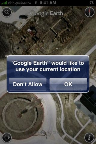
Google EarthGoogle Earth is now available in the App Store for the iPhone and iPod Touch. The application works great, even on EDGE. Zooming and panning works like the Google Maps app but with Google Earth you can even tilt to adjust angle. In the top left corner there is a search icon which allows you to search near you or anywhere else in the world. The top right has a compass that shows the direction; tapping it returns you to North being at the top. In the bottom left there is a button for your current location. The button in the bottom right gets you into the settings where you can turn on and off options for Wikipedia, Panoramio, borders, autotilt and others.
[Read more…]

Schmap.com – City Guides & Local Search

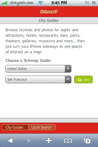
Schmap.comSchmap.com is both a website for city guides and local search. First we’ll start with city guides. There is support for the following countries: United States, Canada, United Kingdom, Ireland, France, Spain, Italy, Germany, Scandinavia, Australia, New Zealand and Other Europe. I chose Minneapolis, Minnesota, USA. The guide has info on the city, tours, attractions, activities, hotels, restaurants, bas/clubs, coffee/tea, arts/fun, shopping, services and festivals. I started under “City Info” and selected the subcategory “Historical Background”. I got about 10 pages of the history of Minneapolis. In this area you have to scroll using two fingers.

Next I tried attractions. Again, there were many subcategories to choose from but I just went with “Top Attractions” just to be safe. I got a nice list including thumbnails to a couple zoos, the Mall of America, Valleyfair, Science Museum and more. Tapping on a selection gets you address, phone, email and URL link. These are all tappable and then interface with the iPhone’s other apps. There are also buttons at the bottom of the page that switch you to a review or photos of the attraction. You can also hit previous and next buttons to scroll through the attractions. [Read more…]

Go-USA 1.0

Go-USA Go-USA is a quiz game, by Jake Wolpert, on information about the States in The United States. The first option you have is “study”. In “study” you can either study the states through the U.S map or study the states through a simple list. When you tap on a state, you will be given all the basic information on the state like “state flower” and “how big it is”. The real hard/fun part comes in the “quizzes” section. The categories you can choose from are “Flags!”, “States!”, “Capitols!”, and “Large Cities!”. All the quizzes are exactly the same, the only difference is obviously the question. An example is, in “Flags!,” you will be shown a state flag and your job is to find the state that the flag corresponds with. For every question you get right you gain 5 points and for every question wrong you lose 1 point. After you are finished with ten questions, [Read more…]